
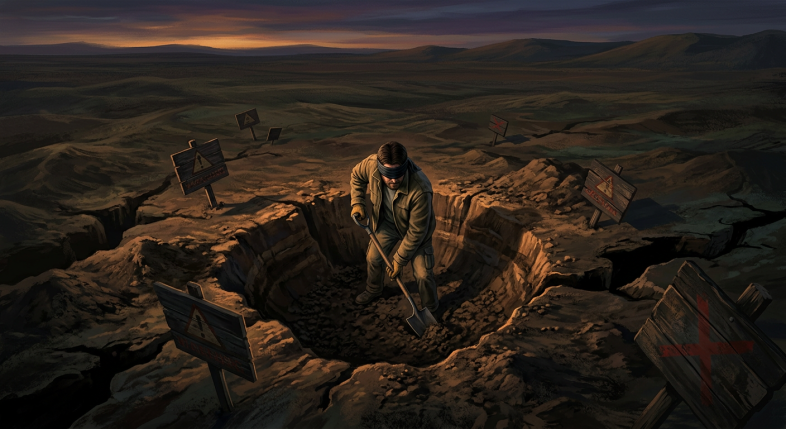
When I was drafting construction drawings for a utility company, one of the first things I learned was that the map is never the territory.
You could have a beautiful, detailed drawing on paper. Survey data, asset records, historical notes from three different companies. And then someone puts a backhoe in the ground and finds something completely different. A pipe no one recorded. A cable laid decades ago by a contractor who never filed the paperwork. A junction that got buried during a road resurface in 1987 and forgotten.
Underground utility locating is one of the most genuinely important steps in any civil or construction project, and it is also one of the most underestimated. Because you cannot see what is under the surface, there is a natural human tendency to assume it matches whatever the drawing says. Often it does. But when it does not, the results range from expensive to catastrophic.
I watched a backhoe operator trench across a road where I knew there was a gas main. He had not done his homework. He hit it. Fortunately it did not rupture, because if it had, the hole would have become a great deal more significant very quickly.
So what does proper underground utility locating actually involve?
The process starts well before anyone picks up a shovel. It begins with a desktop study, gathering all available records from every authority and utility provider who may have assets in the area. Electricity, gas, water, telecommunications, sewerage, stormwater drainage. Each of these is often managed by a different organisation, and their records are held in different systems, drawn at different scales, and maintained with wildly different levels of accuracy.
This is why experienced project managers treat existing drawings as a starting point, not a guarantee. The drawings tell you what someone believed was there at the time they drew it. They do not tell you what actually got installed, what got moved, or what got added later by a different crew under a different contract.
After the desktop study comes physical detection. This typically uses a combination of methods. Ground penetrating radar can identify buried objects and voids beneath the surface. Electromagnetic locating tools can trace the path of metallic pipes and cables. Vacuum excavation, sometimes called hydro excavation or potholing, allows workers to expose a small section of ground with pressurised water and a vacuum unit, revealing exactly what is there without risking a strike.
Vacuum excavation has become increasingly standard in urban environments precisely because the cost of carefully uncovering a section of ground is far lower than the cost of striking a live cable or ruptured main. In densely serviced areas, every dig is effectively a blind dig until you have done the physical detection work.
The other dimension that often gets overlooked is depth. Even when the horizontal location of a utility is well recorded, the depth can vary significantly. Settlement, previous excavations, repaving, and seasonal ground movement can all shift buried assets over time. A water main recorded at 600mm depth on a 1990s drawing may now be sitting at 400mm because of road resurfacing above it. That is a very different conversation with a grader blade.
For anyone managing projects or working in areas with complex underground infrastructure, the lesson is straightforward: treat underground utility locating as a non-negotiable step, not an optional box to tick when budget allows. The cost of a thorough detection process is almost always a fraction of what a single strike costs once you factor in emergency repairs, traffic management, project delays, regulatory investigations, and the risk to people on the ground.
There is a broader principle at work here that applies well beyond construction sites. Any time you are operating in an environment where you cannot directly observe what is happening beneath the surface, the quality of your preparation determines your risk profile. Good records, good detection methods, and a healthy scepticism toward assumptions are what separate the teams who dig safely from the teams who learn expensive lessons.
The map tells you where to start looking. But until you have done the work to verify what is actually there, you are still, in an important sense, digging blind.
If this resonated with you and you want to think more about how good preparation changes outcomes in business, particularly in online marketing where your audience’s real motivations are just as invisible as buried assets, I have put together a resource that walks through exactly that process.
Check out the Claude Prompt Guide here: